Skip to main content
U
niversity
of
W
isconsin
–Madison
Atmospheric and
Oceanic Sciences
Search this site
Submit search
Menu
Home
About
Department
People
News
History
Diversity, Equity, Inclusion
Awards
Contact Us
Resources
Department Documents
Mentorship and Teaching
Health and Wellness
Professional Development
Outreach
Local Life
Reporting misconduct
Accessibility Resources
Research
Overview
Synoptic Meteorology
Climate and Climate Change
Large Scale Dynamics
Radiation and Remote Sensing
Cloud and Atmospheric Physics
Oceanography
Software
Graduate Research Opportunities
Journal of UW-AOS (includes M.S. and Ph.D Theses)
Academics
Prospective Students
Undergraduate Program
Research Graduate Program
Professional Master's Program
Journal of UW-AOS (includes M.S. and Ph.D Theses)
AOS Course Listing
Scholarships
Careers in AOS
Graduate Research Opportunities
Teaching Assistantships (TA)
Alumni
Weather
Climate
Wisconet (Wisconsin's Environmental Mesonet)
Wisconsin State Climatology Office (SCO)
Center for Climatic Research (CCR)
Center for Sustainability and the Global Environment (SAGE)
Climate, People and the Environment Program (CPEP)
Partners
Donate
People
News
Calendar
Map
Weather
NEXRAD Radar
NEXRAD data provided by NOAA/NWS and NSF Unidata
Please see this
information about the storm total precip maps
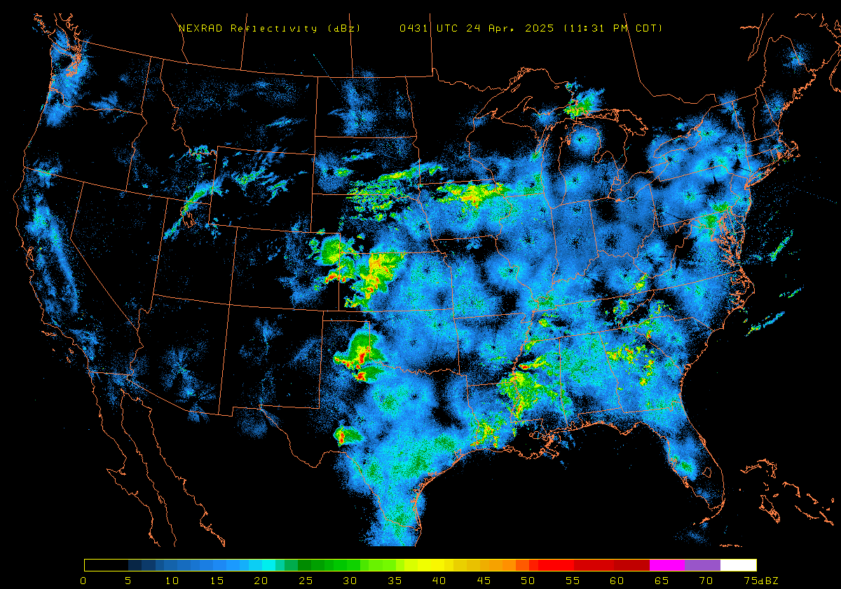
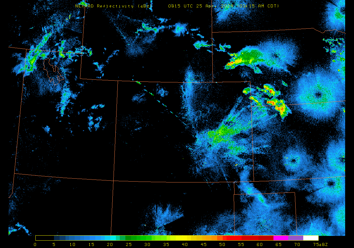
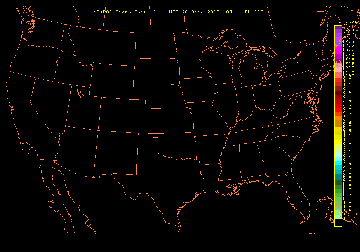
US region
Reflectivity
Storm Total Precip
Image
|
Loop
Image
|
Loop
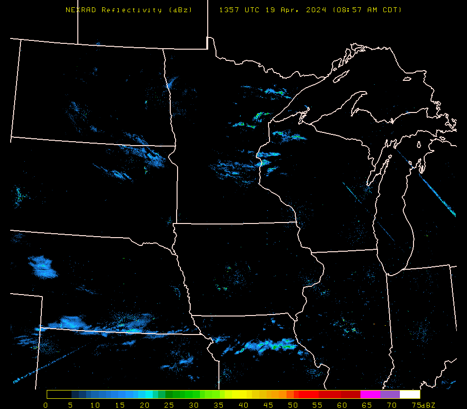
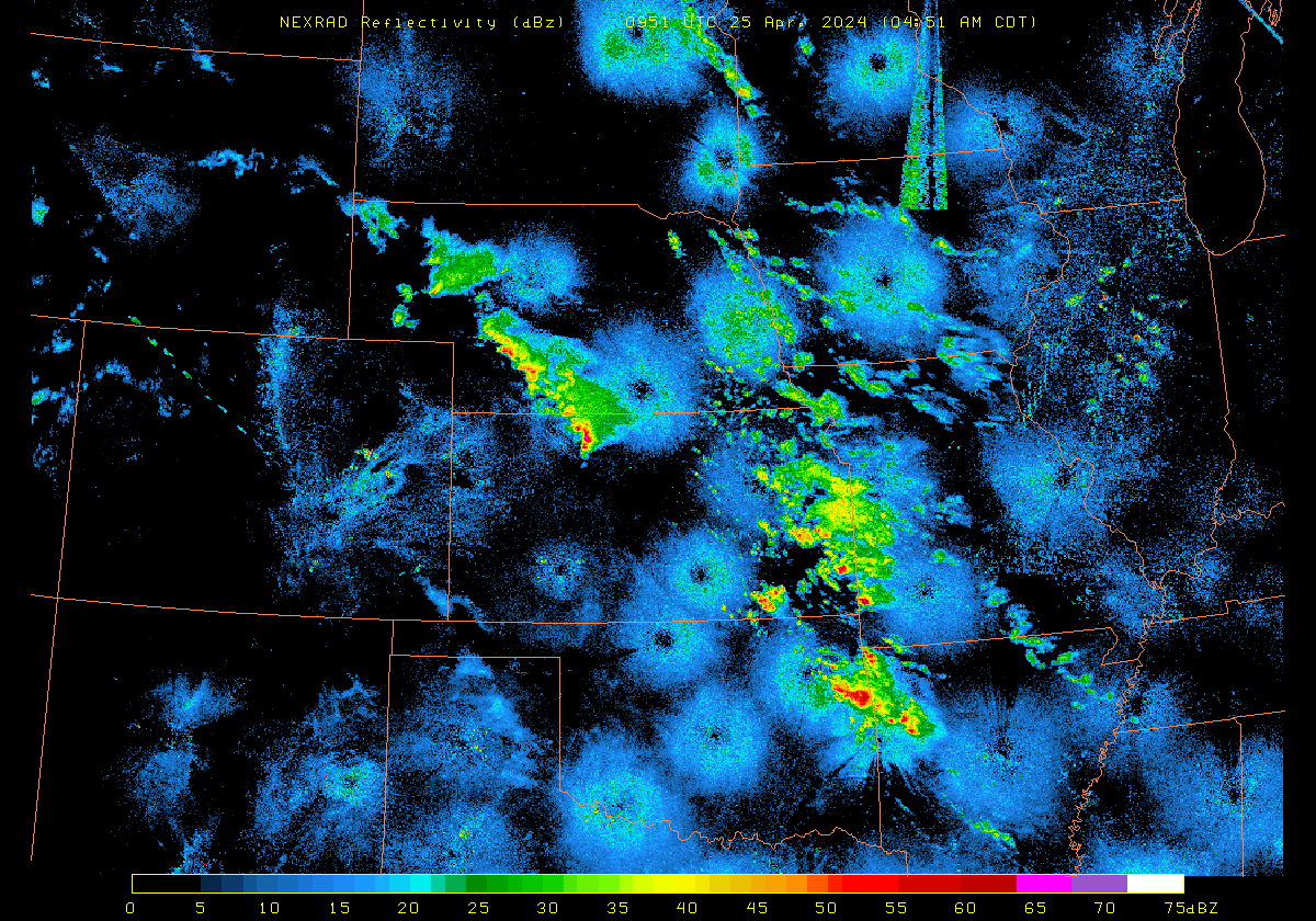
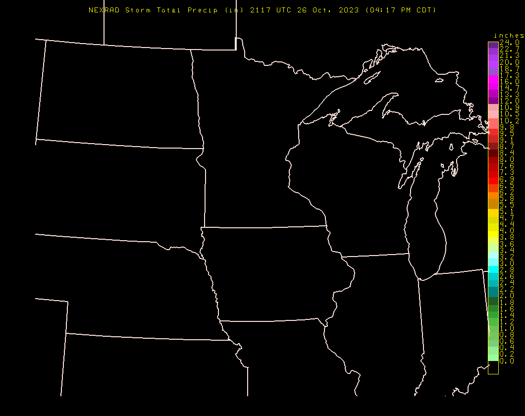
Midwest region
Reflectivity
Storm Total Precip
Image
|
Loop
Image
|
Loop
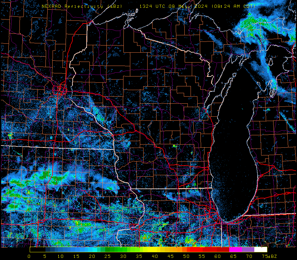
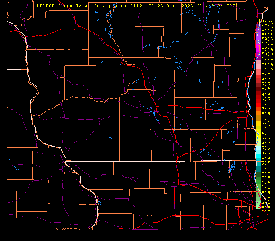
Wisconsin region
Reflectivity
Storm Total Precip
Image
|
Loop
Image
|
Loop
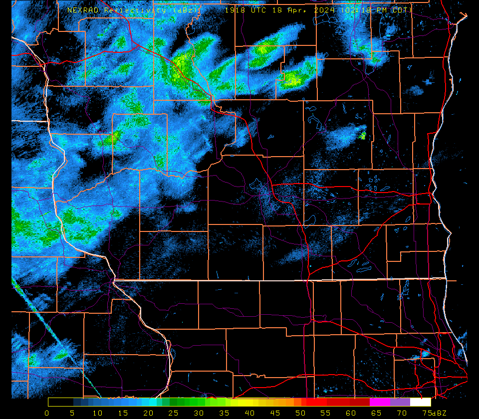
S Wisc/N Ill region
Reflectivity
Storm Total Precip
Image
|
Loop
Image
|
Loop
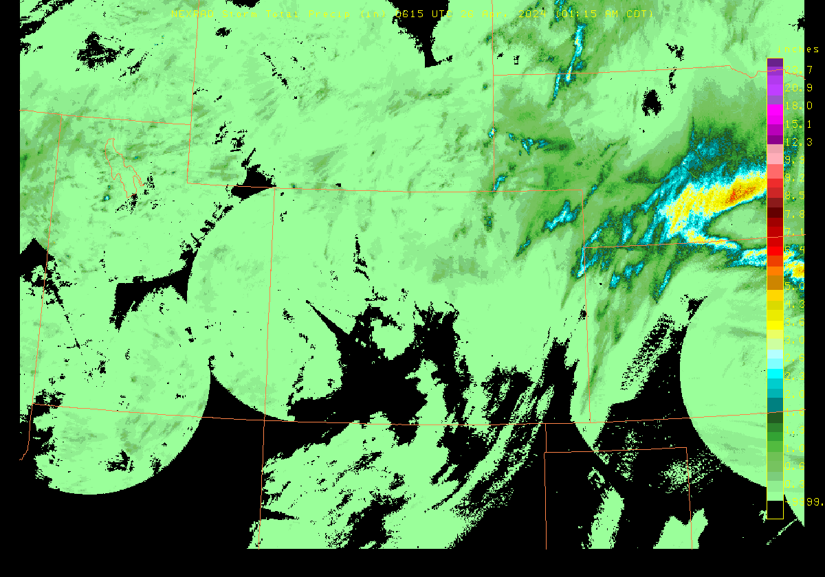
Colorado region
Reflectivity
Storm Total Precip
Image
|
Loop
Image
|
Loop
Storm Chase region
Reflectivity
Storm Total Precip
Image
|
Loop
Image
|
Loop
Northeast US region
Reflectivity
Storm Total Precip
Image
|
Loop
Image
|
Loop
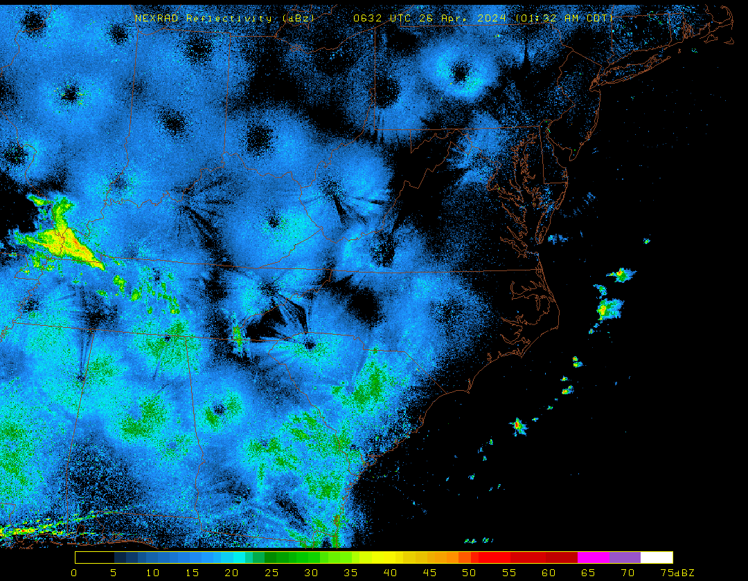
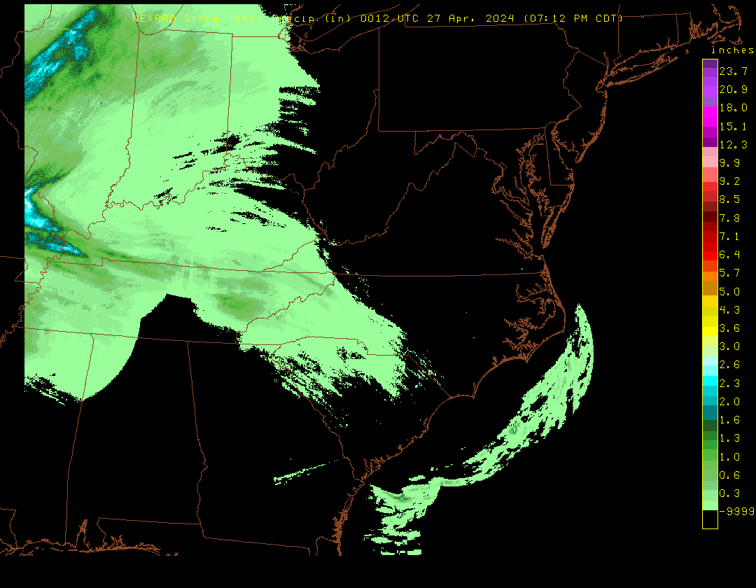
Mid-Atlantic region
Reflectivity
Storm Total Precip
Image
|
Loop
Image
|
Loop
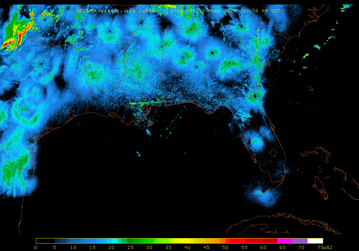
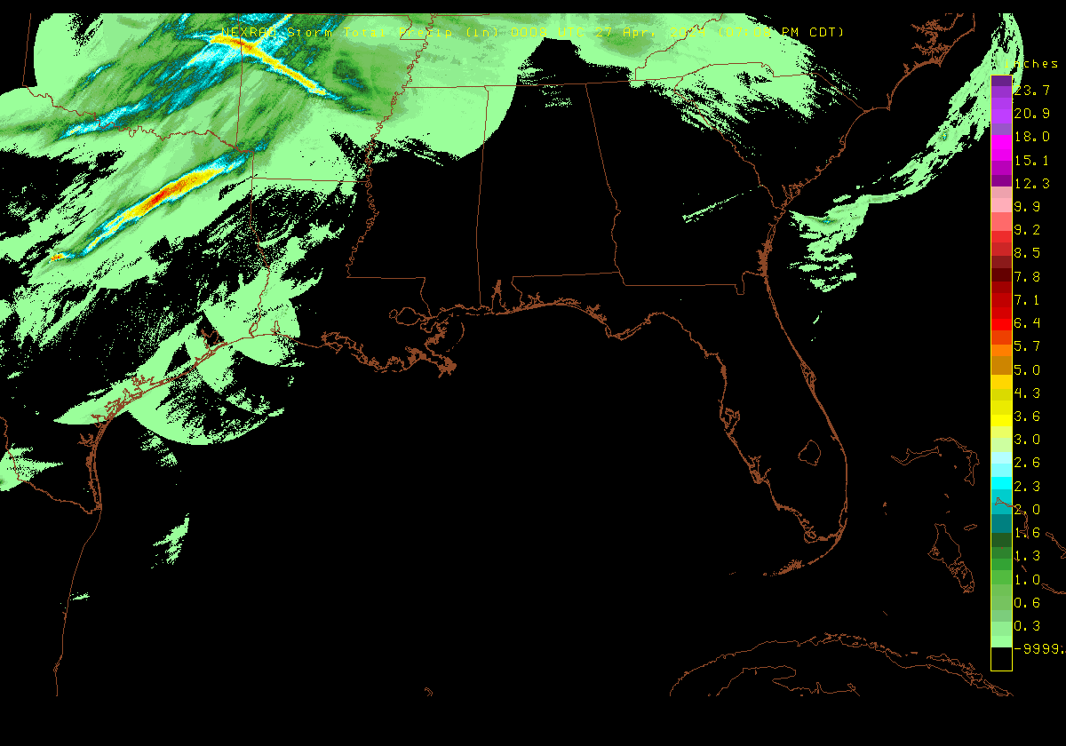
Southeast US region
Reflectivity
Storm Total Precip
Image
|
Loop
Image
|
Loop
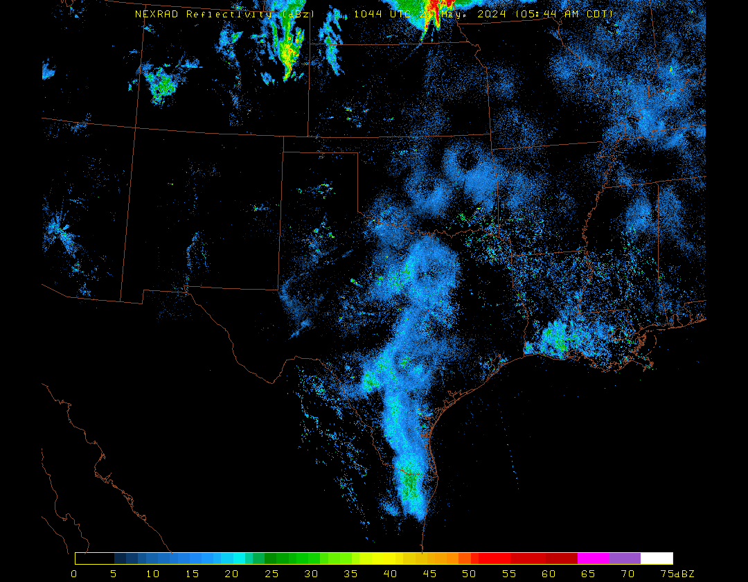
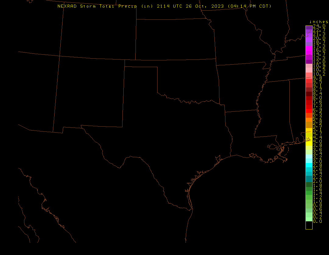
Southern Plains region
Reflectivity
Storm Total Precip
Image
|
Loop
Image
|
Loop
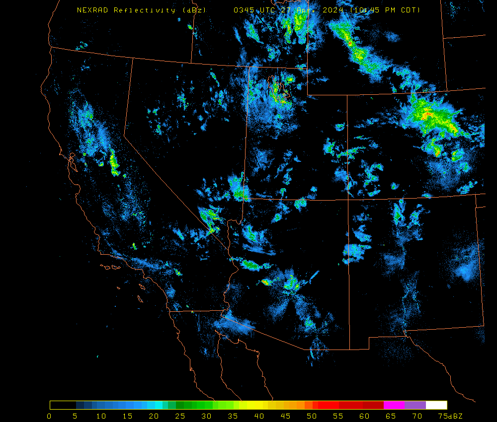
Southwest US region
Reflectivity
Storm Total Precip
Image
|
Loop
Image
|
Loop
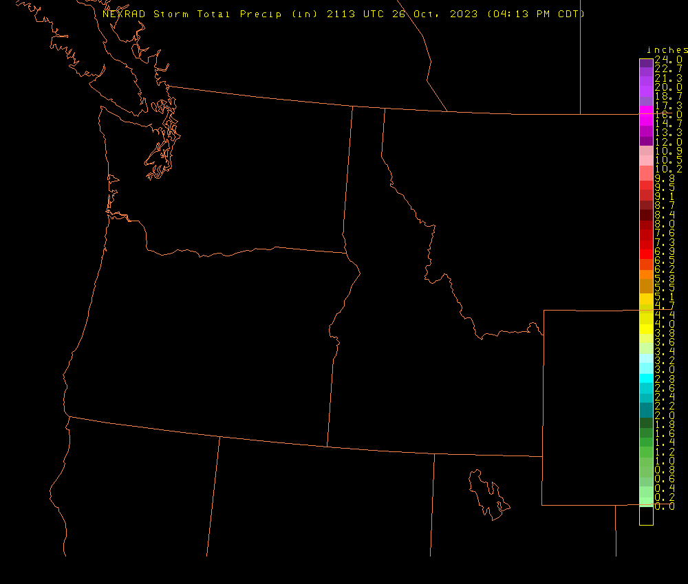
Northwest US region
Reflectivity
Storm Total Precip
Image
|
Loop
Image
|
Loop
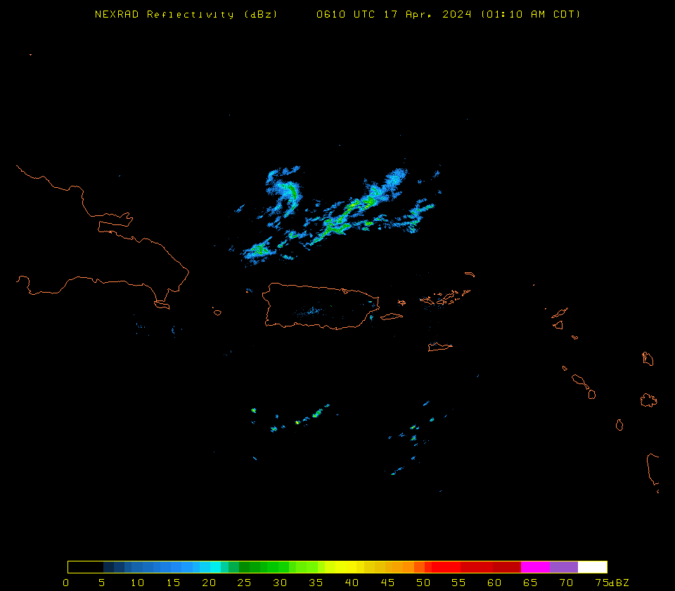
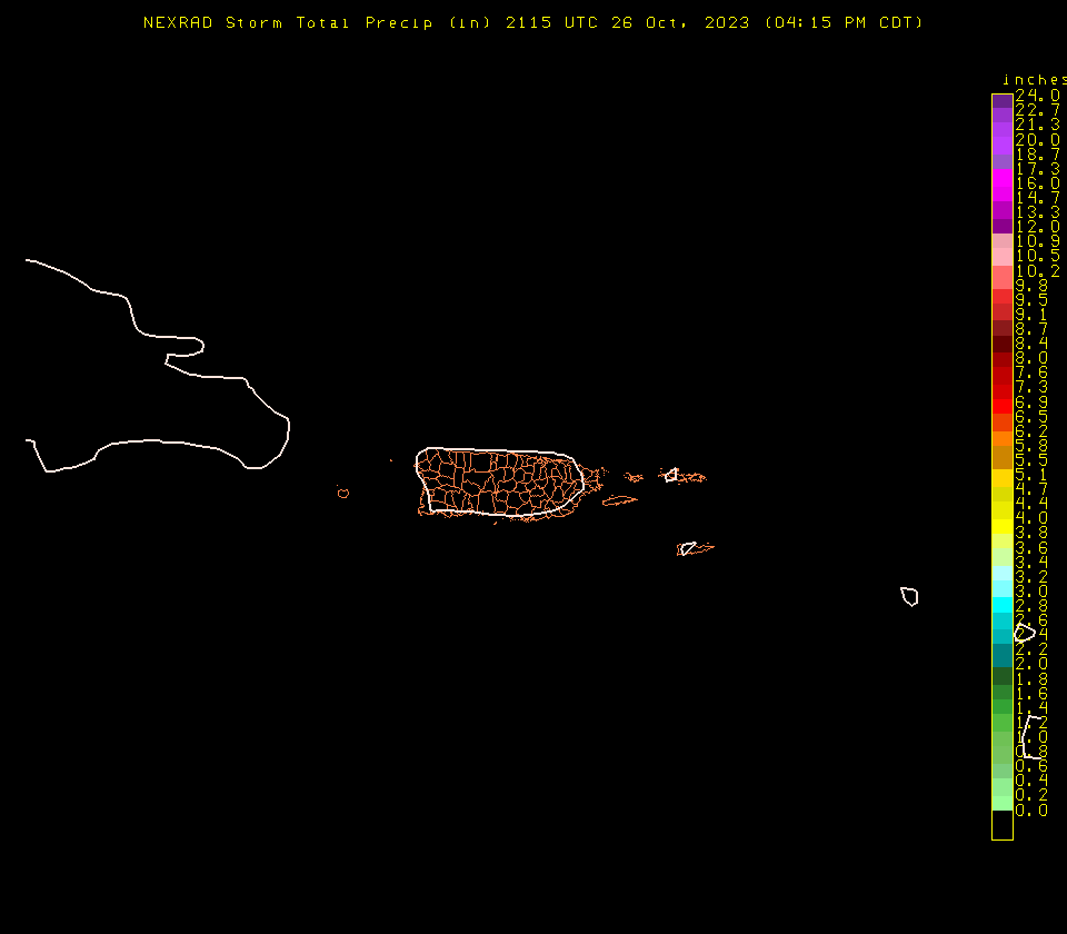
Puerto Rico
Reflectivity
Storm Total Precip
Image
|
Loop
Image
|
Loop
Site icons
More
open menu
close
search
search
search
envelope
pinterest-p
twitter
youtube
facebook
instagram
facebook
facebook
Collapse
Expand
next slide
previous slide
Footer Crest


