
GOES East Loops and Images
Satellite data provided by NOAA/NWS and NSF Unidata
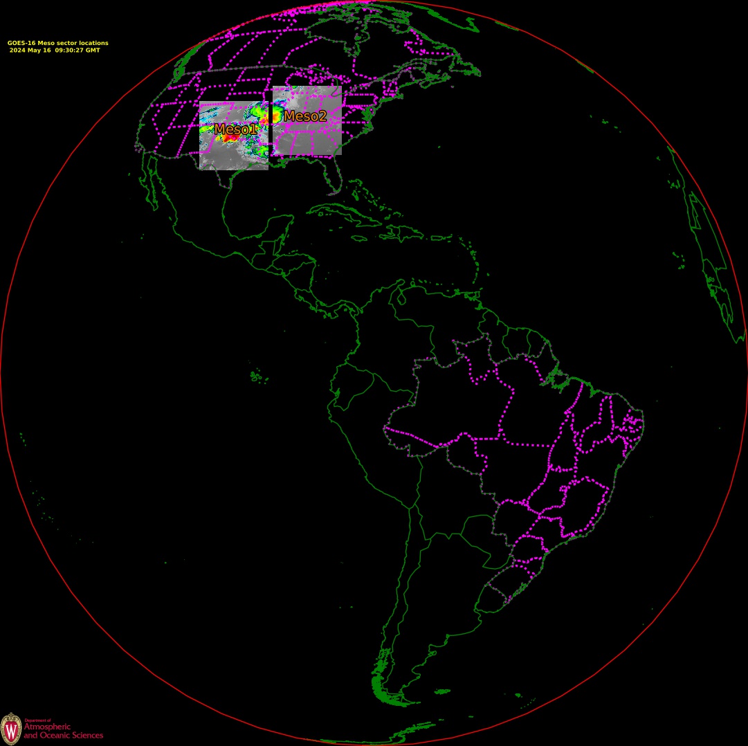
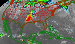
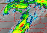
(click the image for all images and loops for that sector)1 minute mesoscale imagery
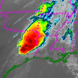
Meso sector #1
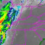
Meso sector #2
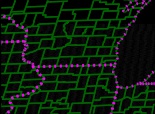
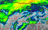
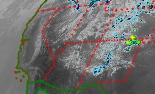
S. Wisc/N. Ill
(When available)
(When available)
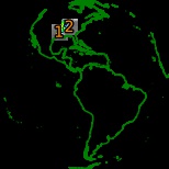
Meso sector locations
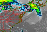
5 minute CONUS imagery
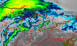
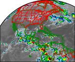
CONUS
Midwest US
Wisconsin area
S. Wisc/N. Ill fullres visible
US Great Lakes
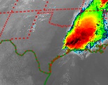
Gulf of Mexico
US Southern Plains
Northeast US
Southwest US
Northwest US
Colorado fullres visible
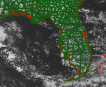
Florida fullres visible
10 minute full disk imagery
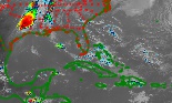
Full Disk
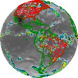
North America
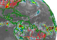
Tropical Atlantic
Full Resolution imagery (Very Large Files)
Full Disk
CONUS